Genre
Canned geodata
OS
Ubuntu
License
MIT
Map data
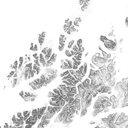
N50, 10m x 10m DEM, SSR
Packages
PostgreSQL, Postgis, Mapnik, Tilestache
Client
Released
2013
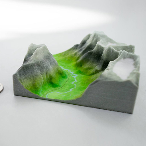
To give everyone a running start with the release we've wrestled the data to the ground and set up a complete environment to contain it.
The environment has been packaged with vagrant. Vagrant sets up an Ubuntu virtual machine (VM) with all the right packages and services. Afterwards the database is populated with fresh free range data from the Mapping Authority and USGS digital elevation maps processed to TIFFs for use in Tilemill.

The Norx Notebooks
- Notes: Even Session 1 – Getting N50 GeoJSON to Postgis
- Notes: Even Session 2 – Wherein we learn to make maps and render them as tiles
- Notes Even Session 3 – Tiles! Tiles in Leaflet! Selectable cirlces! Yay!
- Notes Even Session 4 – Quick setup for a map server
- Notes Even Session 5 – Adding features to the map
- Notes Even Session 6 – Attempting performant DEMs
- DEM 10m Cookbook
- Reproject PostGIS through Mapnik, TileStache and Leaflet into other projections
- Even: Quick test on DEMs
- Blazing fast autocompletion search for places
Other projects
-
Principal Components
Machine learning in search of the uncanny
-

PANDA
Supercolluder for the gig economy
-

OMA Website
Simple surface, intricate clockwork
-

Underskog
Friendly community for the Norwegian cultural fringe.
-

Chorderoy
Efficient text input for mobile and wearable devices
-

Global Weirding
Visually summarizing the Fifth Assessment Report of the IPCC
-

Bandwagon
Battle of the bands, local media edition
-

Repcol
Representativity in the collections of the Norwegian National Museum

